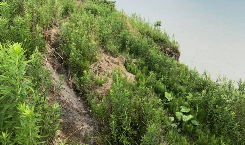
Chatham-Kent Council is working to prevent future development from causing more erosion along Talbot Trail.
At its meeting last night, council approved municipal staff recommendations to reconfigure and rezone 28 lots on vacant farmland on Talbot Trail and Cedar Road in the southern part of Chatham-Kent into 14 larger lots with double the frontage and to prevent development on the other lots closer to Lake Erie that are at risk of erosion.
The land has been slated for residential development since the 1970s but has been used as agricultural land.
Areas around Lake Erie have experienced problems with shoreline erosion and flooding over the past couple of decades.
The setbacks for the parcels of land would also be 95.3 metres from Lake Erie for any new development, based on the 35 metre per 100 years erosion rate currently used by the Lower Thames Valley Conservation Authority.
Administration said the plan is to finally address “required development setbacks” from Lake Erie to permit future development.
