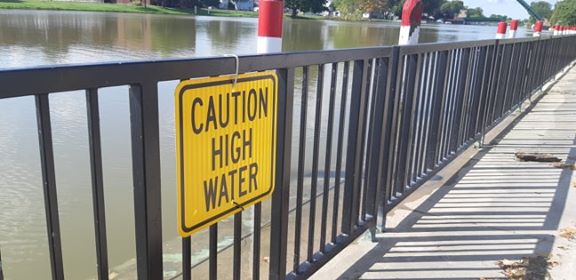
The St Clair Region Conservation Authority continues to keep close tabs on the Sydenham River and surrounding waterways.
Officials say while the upper reaches of the river near Alvinston have peaked and are staring to fall, the lower Sydenham continues to rise.
Over 70 millimetres of rain has fallen over the last few days, and water levels continue to be monitored near Brigden, Dresden, and Wallaceburg.
Water levels across the region are expected to remain high as the water continues to make its way downstream.
Meantime, another 10-15mm of rain is expected starting this afternoon, with more on the way over the next few days.
A number of roads have been impacted by flooding, including Stanley Line between Kimball and Wabuno Road, Pretty Road north of McCallum Line, Waterworks Road north of Courtright Line, and Telfer Road between Courtright Line and Moore Line.
Residents are reminded to avoid waterways and flooded areas due to dangerous conditions, slippery banks, and cold, swift moving water.


