A wet weekend means a wet start to the week around Wallaceburg with the Sydenham River and its tributaries overflowing their banks in a number of areas.
The St Clair Region Conservation Authority says as much as 75 mm of rain fell in some areas.
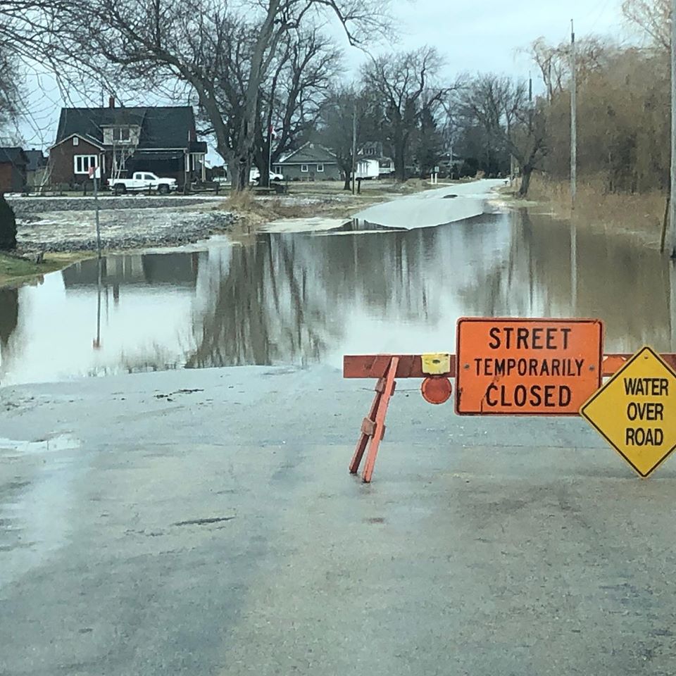
The McKeough Dam has been closed to divert floodwaters away from Wallaceburg, but a number of roads are still being affected.
A number of roads are impacted due to flooding.
Chatham-Kent:
-Booth Road from Langstaff line to McCreary line
-Langstaff line from Kimball road to Richardson Road
-Otter line in Wallaceburg
St. Clair Township:
-Stanley Line east of Kimball Road
-Pretty Road north of McCallum Line
Enniskillen Township:
-Durham Creek Line at Black Ash Line
-Fairweather Road Between Rokeby Line and Shiloh Line
Meantime the Lower Thames Valley Conservation Authority has also closed the Rivard Dam to allow for full operation of the Indian-McGregor Creek Diversion channel.
The Thames is flooding in low-lying areas and officials say basement flooding along King Street in downtown Chatham is expected, although the agency isn’t expecting any major issues in Thamesville or Lighthouse Cove.