
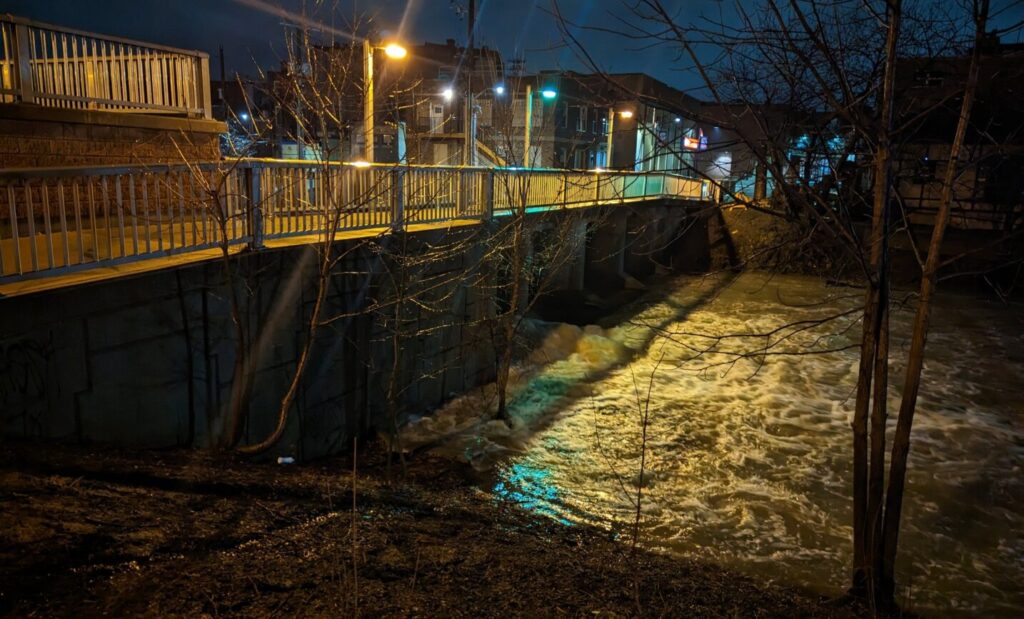
Staff with the Lower Thames Valley Conservation Authority continue to monitor flood waters along the Thames River.
The Sixth Street Dam on McGregor Creek has been fully closed and the creek is actively being pumped. Manager of Watershed and Information Services, Jason Homewood say this will keep the water level low in flood prone areas on the south side of Chatham and hopefully prevent or reduce basement flooding as the river rises.
A flood warning has been issued and while the river should peak in Thamesville today and Chatham overnight into Wednesday, high water levels on the Thames in downstream areas could last into the weekend.
Meantime, officials with the St Clair Region Conservation Authority are also keeping tabs on the Sydenham River. More than 80mm of rain has fallen over the last few days and water levels remain high with localized flooding in low-lying areas, including floodplains, agricultural, and parkland areas.
The following roads are closed due to flooding:
Stanley Line between Kimball and Waubuno Road
Waubuno Road between Bickford Line and Oil Springs Line
Pretty Road north of McCallum Line
Waterworks Road north of Courtright Line
Telfer Road between Courtright Line and Moore Line
Staff are monitoring the following roads in Wallaceburg that could be impacted due to flooding:
Emily Street at Elizabeth
Nelson Street between Wall St and Trafalgar
Nelson Street between of McKee Road and Langstaff Line
Otter Line along Otter Creek
Residents are reminded to avoid watercourses and flooded areas due to dangerous conditions, slippery banks and cold, swift moving water. Children and pets should be kept away from the water.