
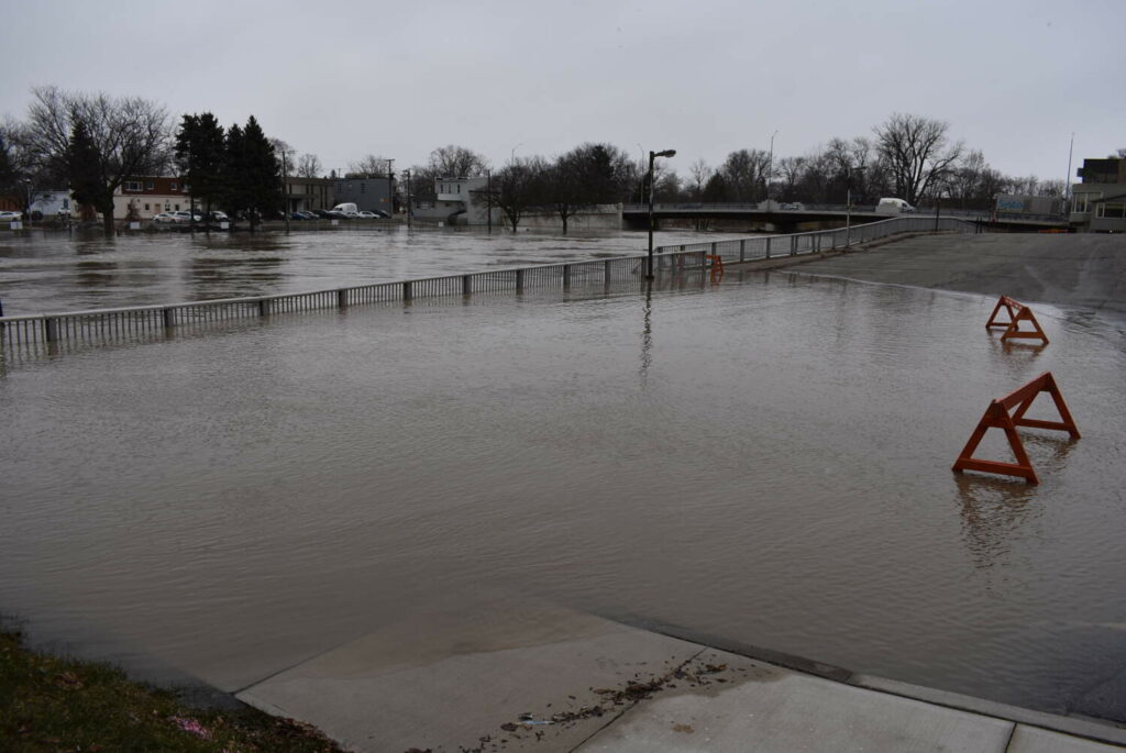
Two conservation authorities have issued a flood watch for the local region.
The Lower Thames Valley Conservation Authority said recent warm temperatures, rain, and the associated melting snow have caused water levels on the Thames River to rise.
Water levels on the river are currently peaking now in the London area and will move downstream to peak in the Chatham area late Sunday or Monday.
Flooding is expected in the low-lying river flats along the river from Delaware down to Chatham. Flooding of the upper table lands is not expected.
The St. Clair Region Conservation Authority said 25-35 mm of rainfall overnight has resulted in increased water levels in several other areas. With water levels expected to continue to rise over the weekend, several roads may be impacted including Stanley Line, Pretty Road, Waterworks Road and Tefler Road.
Both conservation authorities are asking everyone to avoid watercourses and flooded areas as conditions can become dangerous due to slippery banks and cold, swift-moving water.