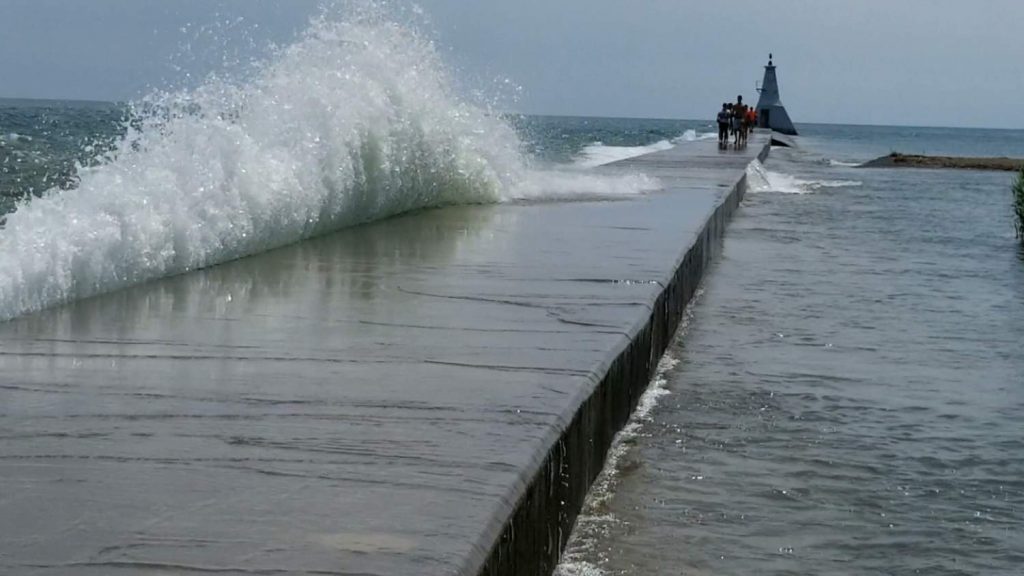
It’s going to be a blustery day in Chatham-Kent, which could wreak havoc along local waterways.
Officials with the St Clair Region Conservation Authority say residents along the Lake St. Clair shoreline in the Mitchell’s Bay and Walpole Island First Nation areas may experience elevated water levels due to storm surge, increased wave action and possible shoreline erosion. Water levels in the Sydenham River at Wallaceburg may also become elevated due to backflow from strong winds.
The Lower Thames Valley Conservation Authority has issued a flood watch for the area with winds expected to rise into the afternoon and shift to the southwest, which could bring waves close to 2 metres near the shoreline.
There is a risk of flooding along Erie Shore Drive in Chatham-Kent, lasting into Thursday.
Flood waters are very likely to get onto the roadway, and possibility of freezing wave spray, starting later today, could create even more dangerous conditions if there is water on the roadway and structures along the shoreline get iced over.
Residents are advised to take extra caution and avoid the shoreline should conditions get rough.


