
A word of warning from the local conservation authority with rain expected over the next couple of days.
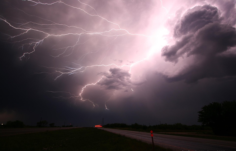
Environment and Climate Change Canada is forecasting a risk of thunderstorms today and tomorrow that may bring high-intensity rainfall causing ponding and increased runoff.
Staff with the St Clair Region Conservation Authority have issued a flood outlook, saying thunderstorms could produce heavy rainfall, high winds, hail, and even the potential for a tornado.
Official say thunderstorms bring the risk of high-intensity rainfall, and local peak hourly rainfall rates could be up to 50mm. High amounts of rainfall in a short period of time can lead to increased runoff and flash flooding, particularly in urban areas.
Some areas could see as much a 90mm of rain between this evening and the end of the day tomorrow that could elevate water levels into natural floodplain areas and low-lying roadways. Soils could be saturated from the rain and may contribute to ponding, increased runoff into watercourses, and possible increased erosion and seepage issues.
Residents are reminded to avoid watercourses and flooded areas due to dangerous conditions, slippery banks, and cold, swift moving water. Children and pets should be kept away from the water.